Reading The Cryosphere
Reading The Cryosphere
A picture is worth a thousand words - but only if you can speak the language.
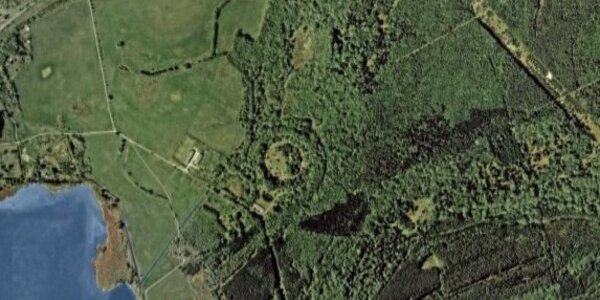
When examining satellite images of the cryosphere it helps to know something of the mechanisms which can create the effects seen. The skills needed in interpreting these images can be developed by looking at Google Earth or Wikimapia images without any annotations. Check the history of an area and then go relic hunting. Alternatively, look at some satellite images, find something odd and then try to guess what it is. In general, form follows function. For example…